
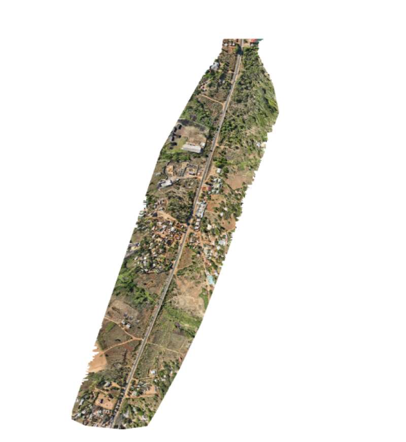
1) Conduct a high-accuracy drone survey of the 110 km M1 Road in Malawi using a DJI Matrice 300 drone, DJI RTK 3 GNSS Base and Rover .
2) To provide centimeter-level positioning accuracy.
3) The survey was designed to generate engineering-grade geospatial datasets suitable for road rehabilitation, design, and planning.
4) The aerial survey was supported by a well-established survey control network tied to the Malawi National Geodetic Control Network (Arc 1950 Datum). The controls for the aerial survey were placed 2km apart.
5)To produce orthomosaics, Digital Terrain Models (DTM), point clouds, and engineering mapping datasets.
